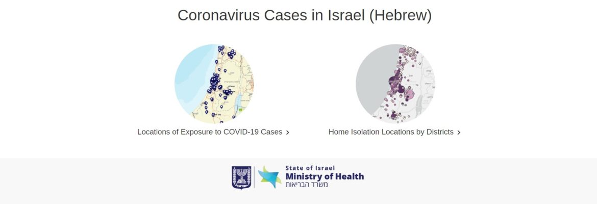
Home » Coronavirus maps 2020 il Interactive Maps of Coronavirus Cases in Israel Interactive Map of the spread of the Coronavirus in the State of Israel Locations of Exposure to COVID-19 Cases Exposure Locations for COVID-19 Cases Exposure Home-Insulation Locations by Counties Coronavirus Map: Tracking the Global Outbreak Previous: Novel Coronavirus Information Center Next: On Exit Strategy from Covid-19 Lockdown